We start on the hiking trail behind the Bad Ragaz valley station of the Pizolbahnen and walk towards Vilters/Wangs. Below the church in Vilters, we cross the stream and follow the hiking trail via "Rappagugg" to Wangs. We walk past the Wangs valley station of the Pizolbahnen, cross the concrete bridge and immediately afterwards turn left towards the grotto (wooden signpost).
We walk past the grotto and follow the tarred road to Bazal. Here we take the steep "Geissgass" in the direction of Maienberg/Furt. This path leads us along the Grossbach stream across meadows, through forest and a gorge to the Gaspurweg junction and later Gampidels. At the end of this mountain path we see the Alp Mugg. Below this alp, we follow the forest road to the left, cross a stream shortly afterwards and then immediately turn right again along the marked mountain path to Furt.
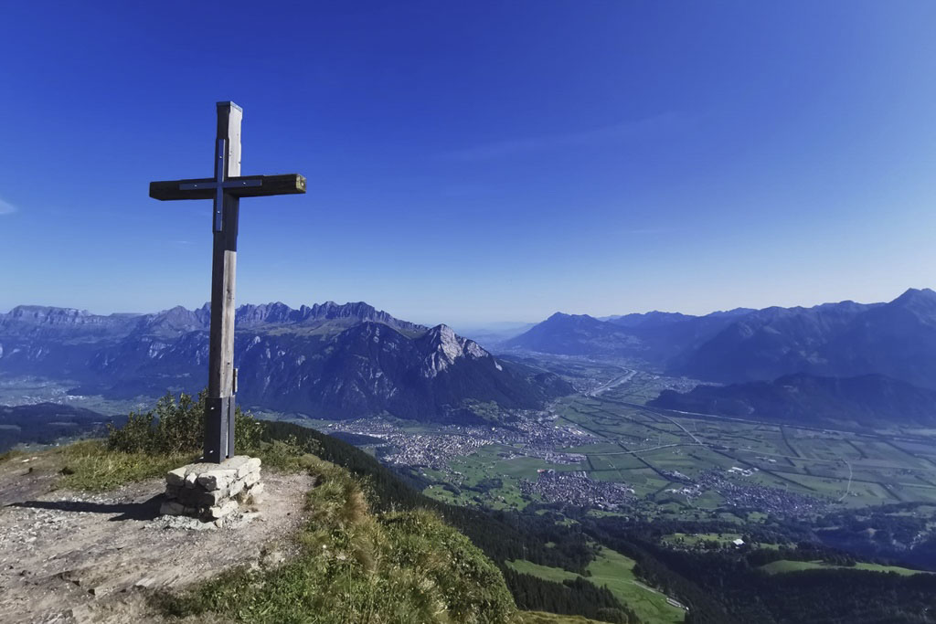
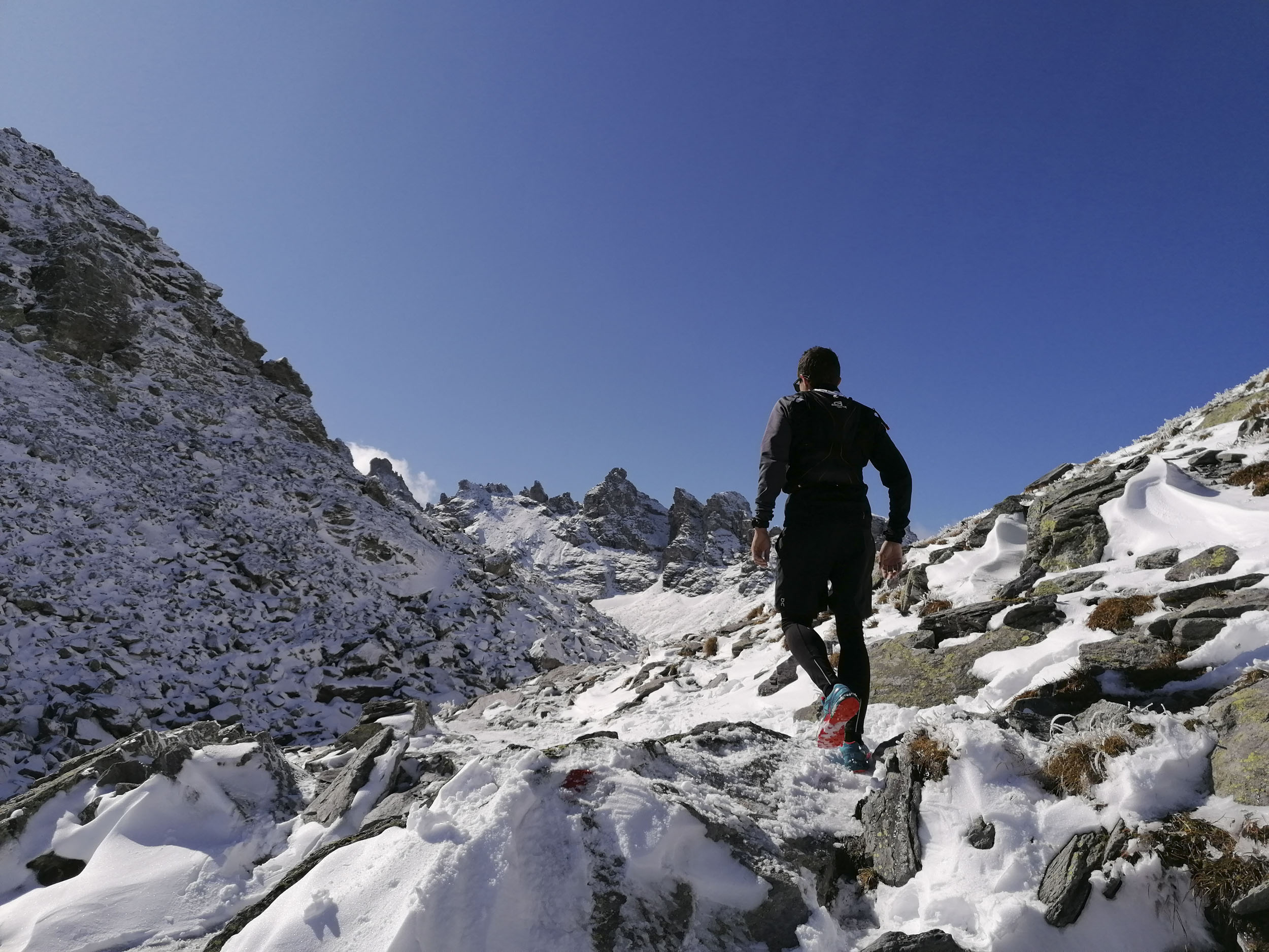
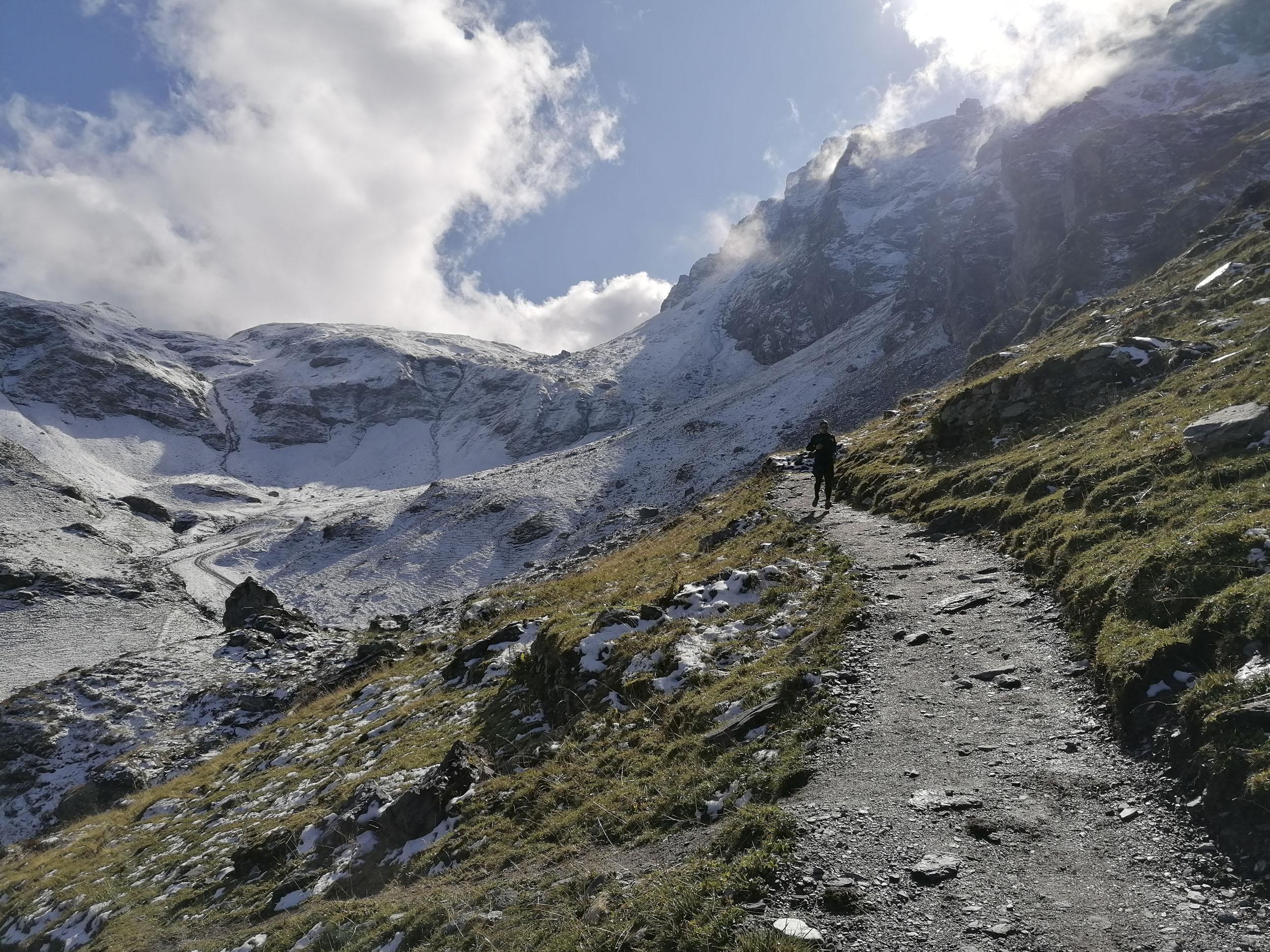
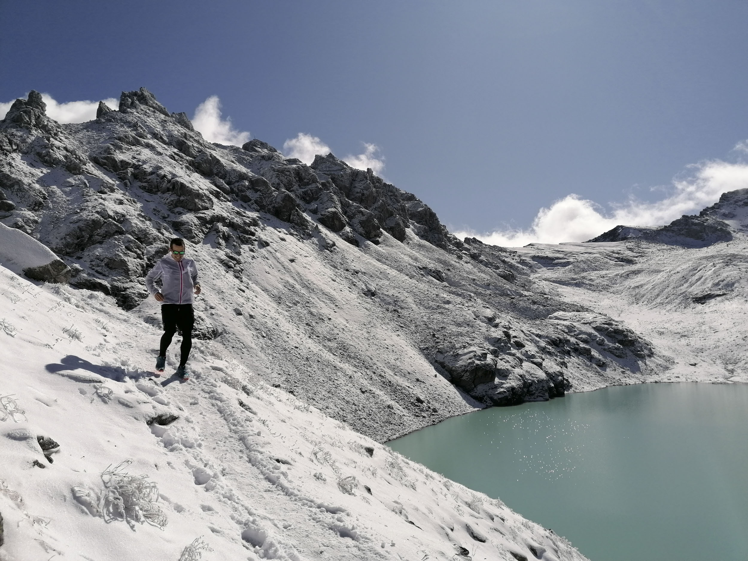
After the valley station of the chairlift, we turn right towards Wasserwald to Fürggli, continue to Unter- and Obervermii and then to the summit cross of the Garmil. Despite the prospect of a long tour, it is worth taking a short break to enjoy the view. After our well-earned break, we reach Wildseeluggen via the old Alp Gaffia and the famous 5-lake hike on a fantastic and varied trail. On the way, we walk past a stone mandli field and the Baschalva, Schwarz, Schotten and Wildsee lakes. The surroundings are fantastic and will certainly take your mind off the exertions.
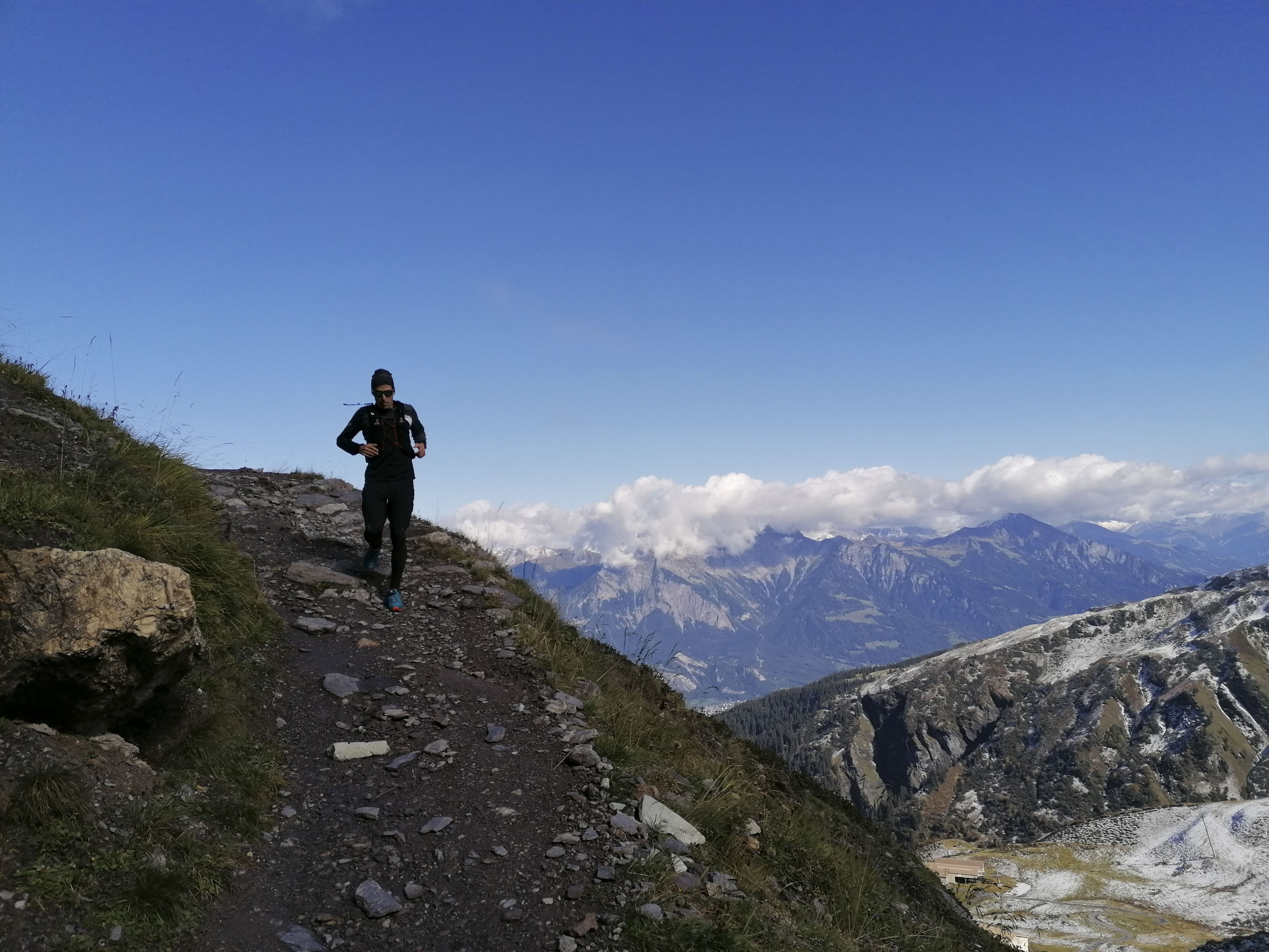
From Wildseeluggen, the route leads past the Pizolhütte and Lake Wangs to the 360° view at Tagweidlichopf. A look back and a photo through the photo spot allow us to capture the memories at home. We walk via Laufböden on a long descent to Pardiel. At the junction above the gondola lift, we walk past Geissen towards the Schwarzbüel viewpoint. The next intermediate destination is Alp Schwarzbüel. Once there, we turn left towards Vilterser Obersäss, which we reach via a great trail through forest, across meadows and past a moorland landscape. From Vilterser Obersäss we head uphill towards Viltersersee.
Above Lake Viltersee, we turn left towards Laufböden and then right again at the next opportunity towards Lake Wangsersee. At the end of Lake Wangs, the hiking trail turns left towards Lasa. Now a completely different view opens up with views towards Graubünden and the Tamina Valley. Once we reach Alp Lasa, we turn left again and follow the "Bettlerweg" signs. This leads us along a varied trail to Pardiel.
At the mountain station of the Pardiel gondola lift, we follow the junction to Wildboden/Bad Ragaz and walk through the forest and across meadows down to the Guschachopf junction. Here we turn right, after a few hundred meters enjoy a magnificent view of Heidi's extended home and then turn left towards Bad Ragaz (use the turn-off with 30 min!).
Once we reach the valley floor, we walk towards Tamina Gorge and the old Pfäfers spa. The 265-metre-long arched bridge, the longest in Europe, towers above us. At the end of this path, we reach the historic bathing site of the old Bad Pfäfers. We walk back along the same path and turn right at the "Badtobel Steg" junction, walk over the bridge and then uphill through the forest to Pfäfers. At the top, we walk along the main road towards Pfäfers/Wartenstein, past the baroque monastery church and the Cristo Salvador sculpture to the Wartenstein ruins. After enjoying the fantastic view of Bad Ragaz and the Gonzen, we follow the mountain path below the ruins in the direction of Bad Ragaz.
We walk past today's Tamina Therme spa, although we are certainly longing to relax in the regenerating water. What is not yet can still be... We cross the Tamina river at the entrance to the gorge, then turn right and immediately left again at the village entrance towards Freudenberg. To avoid the asphalt, we walk along the forest road for a short while in the direction of Pardiel. At the junction for the Pizolbahnen valley station, we turn right along a meadow and forest path to the Freudenberg ruins. Directly after the ruins, we take another meadow and forest path back down into the valley. At the bottom, we turn left towards the Pizolbahnen valley station. After a short time, we reach our destination and can look back proudly on our ultra run.